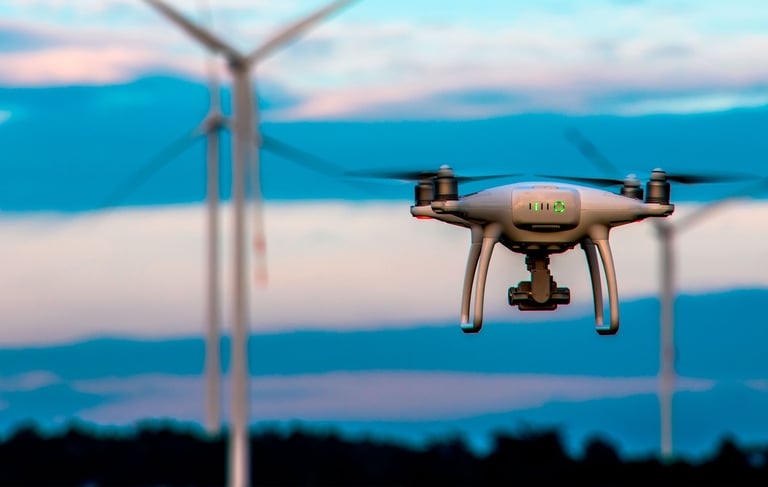
Experience AI, like never before.
Drone Insights that are relevant & accurate right from Day 1
Experience AI, like never before.
Drone Insights that are relevant & accurate right from Day 1
Your project timelines - in hours, not weeks
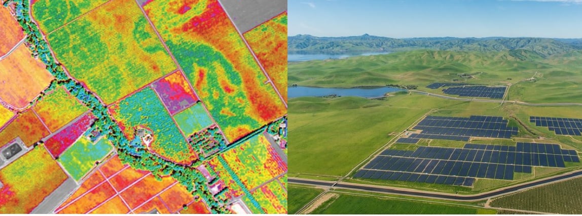
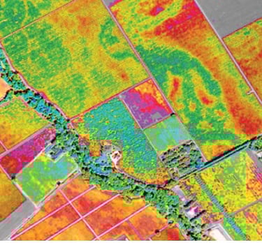
Unlock your project's full potential. Merge all aerial data sources seamlessly, in-house or third-party. From images to LiDAR and thermal scans, we've got it covered. Visualize insights on a site map, effortlessly tracking and identifying key elements like vegetation, buildings, roads, and transformations.
Elevate your aerial data game now.
Build a Digital Twin
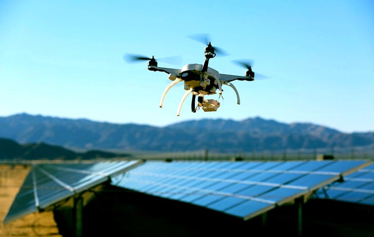
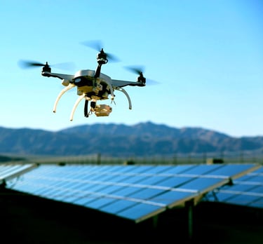
Effortless identification, precise location tracking, and swift action for installation, inspection, defect pinpointing, and remediation through our cutting edge map-integrated platform.
Targeted Intervention Measures
Embark on a journey into the future of project management. Unleash your data's potential with stunning 2D and 3D visuals right on your device. Pinpoint and resolve issues with laser precision, and track the evolution of your project through time-series analysis. Empower stakeholders with tailor-made dashboards, and stay at the forefront with real-time aerial updates. Elevate your projects to unprecedented heights and ensure more efficient operation and maintenance through targeted intervention measures.